The impact of the new flood zone mapping in Quebec

Flood zone mapping in Quebec directly affects home insurance, mortgage approval, property value, and household protection. This guide explains the changes and their concrete impacts for homeowners, condo owners, and tenants of houses and cottages located in designated flood zones.
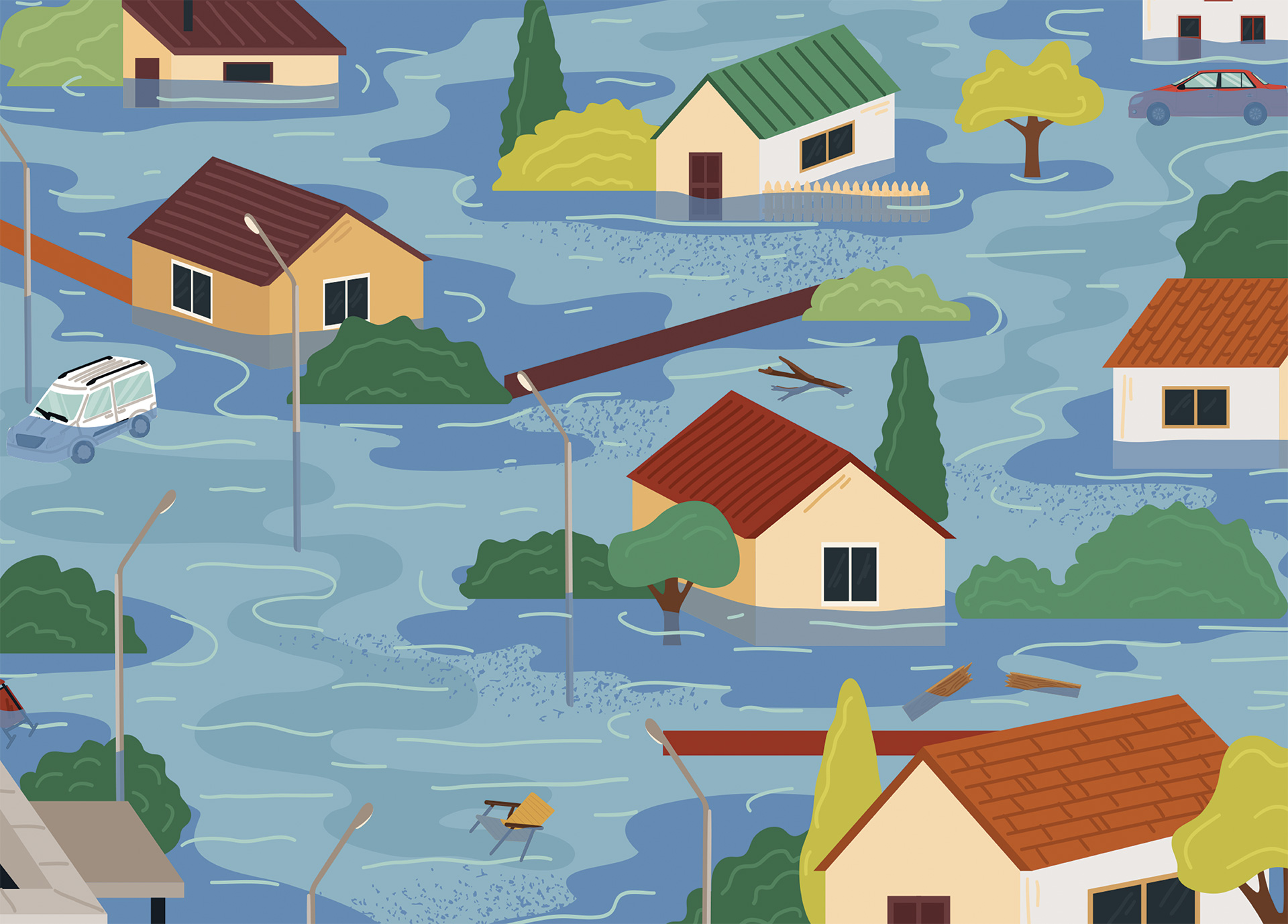
What is a flood zone?
A flood zone is an area exposed to a risk of flooding during:
- River overflow
- Heavy rainfall
- Snowmelt
- Ice jams
These areas present a real flood risk for homes, cottages, and personal property, which justifies enhanced monitoring and preventive action.
Why is Quebec updating its flood zone mapping?
The Government of Quebec is updating its flood zone mapping to strengthen flood prevention and help communities better manage flood risks.
- For homeowners, condo owners, and tenants, the new flood map provides a clearer understanding of their property’s exposure to flood hazards, allowing them to implement appropriate preventive measures.
- For insurers, the updated flood risk map facilitates more accurate risk assessment, appropriate insurance coverage offerings, and the recommendation of effective flood mitigation strategies.
When does the new flood map come into effect?
The official publication of the new flood zone mapping is being rolled out progressively across Quebec since March 2026, depending on regional progress. It introduces new regulations and amends existing ones.
Important: If your area does not yet appear in the government portal, the previous flood map still applies.
What is the difference between the old and the new flood maps?
Previous flood zone mapping
The former system was based on flood recurrence frequency:
- 0–20 years: High risk
- 20–100 years: Moderate risk.
New flood zone mapping
The new mapping is more realistic and easier to understand. It considers:
- Type of flooding
- Frequency
- Water depth
- Impact of climate change
Approximately 30% more residences are now included.
Risk classification by colour
- Dark red: Very high risk
- Red: High risk
- Orange: Moderate risk
- Yellow: Low risk
Designated protected zones with residual risk are located behind dikes, dams, or other flood control infrastructure. However, they remain vulnerable in the event of extreme weather events or infrastructure failure.
What are the impacts for homeowners and tenants?

Impact on home insurance in Quebec
The new flood zone map may result in:
- Higher home insurance premiums depending on risk level
- Coverage limitations
- More complex underwriting for flood insurance endorsements
Recognized preventive measures may help reduce the perceived risk for insurers. Each insurance company applies its own underwriting criteria.
Does home insurance cover flood damage?
Not automatically. A standard home insurance policy does not cover all types of water damage. An endorsement such as “Water Damage – Ground Water, Sewer Backup and River Overflow” must be added for protection against flood-related losses.
Can I receive government financial assistance in the event of a flood?
Yes. If your private insurance does not cover the damages related to your loss, public programs may step in to cover emergency work, certain repairs, temporary housing, and preventive measures. You must apply through the authorities when official programs are announced following a disaster.
Impact on property value and mortgage
In practical terms, this may mean a possible depreciation of your property or condominium due to increased flood risk and water damage exposure.
You may also face difficulty obtaining or renewing a mortgage. Without adequate insurance or public financial support, financial institutions may require additional guarantees or a higher down payment.
Do the new zones affect buying or selling a home?
Yes. The new flood zone mapping can impact real estate transactions. In addition to influencing property value and insurance costs, it may reduce buyer interest, limit access to financing, and affect resale conditions.
Impact on maintenance or use of the property
The new zones may result in restrictions on renovations, reconstruction, or even land use. For example, your municipality could require demolition following flood damage if there is a high probability of recurrence in the future.
Consult your municipality or regional county municipality for guidance.

“Be aware that even replacement cost compensation may be reduced if you do not comply with all legal provisions, such as rebuilding requirements.”
Suzanne MichaudVice President, Insurance, CAA-Quebec
Is it possible to insure a property located in a flood zone?
Water damage is not covered uniformly:
- Water damage caused by a burst pipe inside the home is generally covered under a standard home insurance policy.
- Damage caused by river overflow is not covered under the basic policy. A specific endorsement must be added: “Water Damage – Ground Water, Sewer Backup and River Overflow.” Some insurers may not offer this coverage. It is important to confirm during your insurance shopping process.
Certain insurers may offer or restrict specific protections depending on the area, risk level, and internal underwriting guidelines.
How do I know if my property is located in a flood zone?
You can consult public tools and official documents, including:
- Géo-Inondations interactive flood map
- Your certificate of location
- Your city, municipality, regional county municipality, or home insurer
Do I need to notify my insurer if my property changes zones?
Not necessarily. Insurers closely monitor updates to flood risk mapping. If a change affects your coverage, your insurer will likely contact you. However, ensuring your file is up to date remains good practice
Can I request a review of the new flood zone mapping?
Yes. You may submit a request for review to the Ministry of Environment, Fight Against Climate Change, Wildlife and Parks once notice is published in the Official Gazette of Quebec.
Will I lose my insurance coverage if I am in a high-risk zone?
No. Even if your property is located in a high-risk flood zone, your current coverage should remain unchanged during the policy term. Adjustments may occur at renewal, particularly based on your claims history.
Standard protections remain valid, including:
- Fire
- Theft
- Vandalism
- Civil liability insurance
However, certain water damage protections may be limited depending on your property’s flood risk level.
What additional insurance protections are available for flood zones?
Additional insurance endorsements may include:
- Flood insurance coverage
- Sewer backup coverage
- Ground water coverage for basement flooding
What solutions can reduce the impact of the new flood zone mapping?
Concrete flood prevention measures include:
- Installing a backwater valve and/or a battery-powered sump pump
- Sealing foundations with a waterproof membrane
- Protecting openings (doors and windows)
- Elevating sensitive systems such as the water heater, electrical panel, and appliances.
Avoid storing valuable items in the basement or in below-grade garages. If necessary, move your vehicle to higher ground.
Document your improvements with photos and discuss adjustments to your home insurance coverage based on flood zones.
By combining prevention and adequate insurance coverage, you protect not only your home and belongings but also your financial security and peace of mind.
Protecting your home and property through flood zone mapping
The new flood zone mapping is not merely a regulatory tool. It is a true lever for flood prevention, property protection, and risk awareness. Better understanding your flood zone allows you to adapt your home insurance coverage to real flood risks.
Flood prevention remains essential to reduce impacts, protect your assets, and preserve your long-term financial stability.